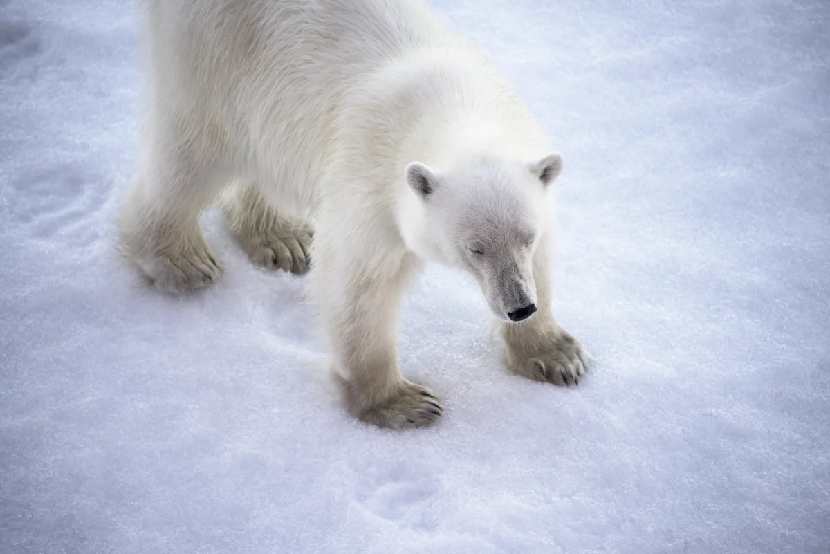
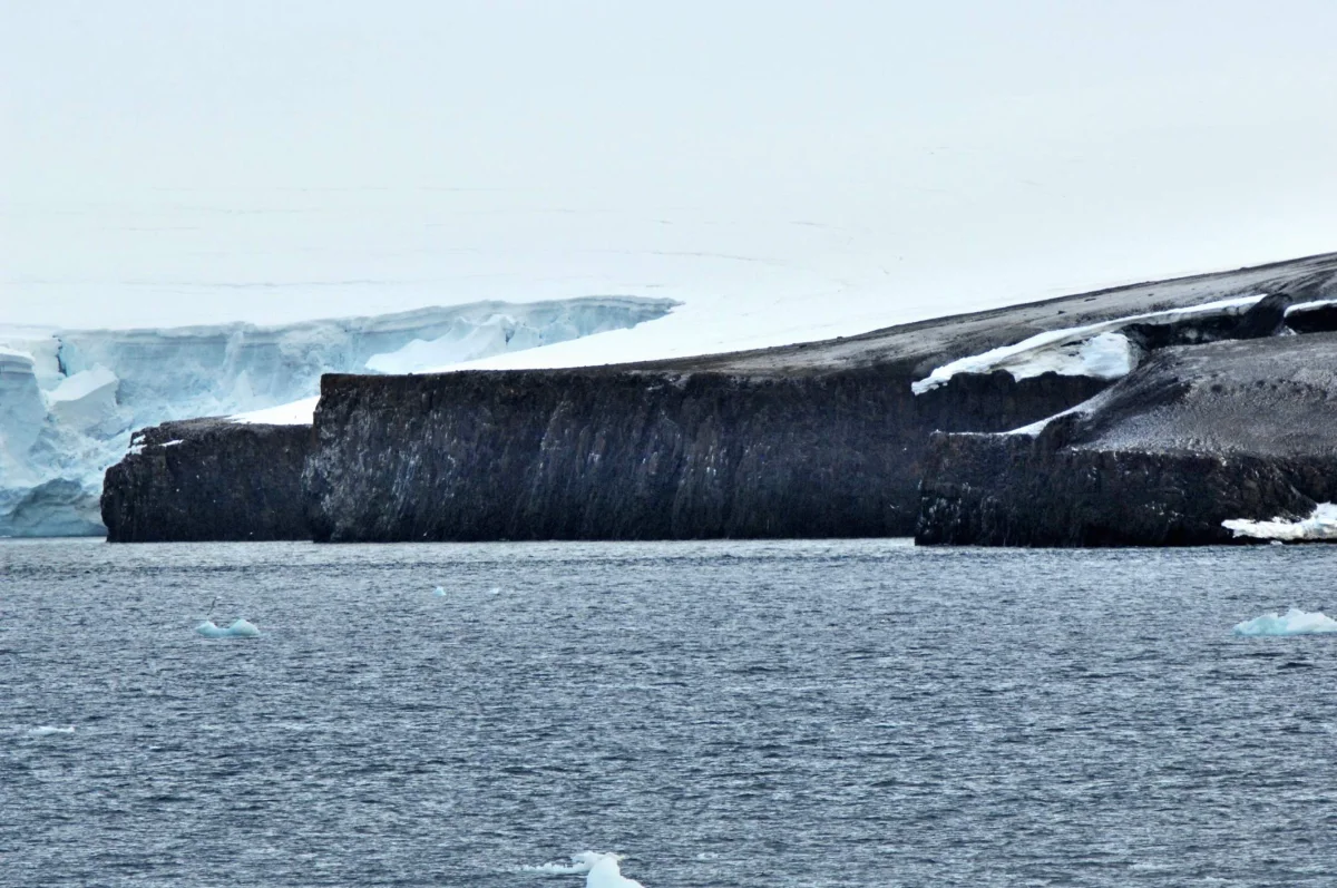
 Cape Fligely · Ansgar Walk
THE NORTHERN FRONTIER
Rudolf Island
Cape Fligely, remote ice caps, and the history of journeys toward the pole.
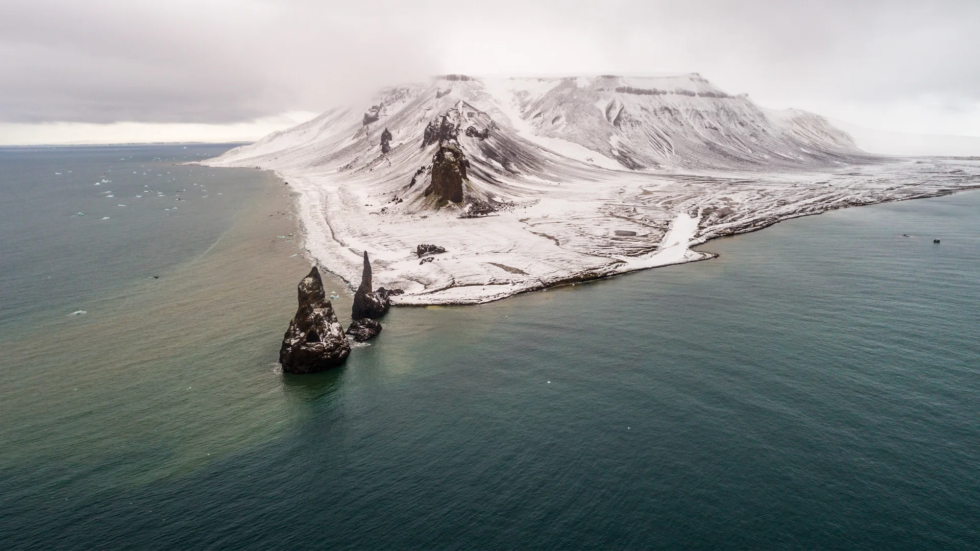
BEYOND THE ARCTIC CIRCLE
A world of islands, ice,
and extraordinary stories.
Explore the geography, wildlife, and polar history of one of the High Arctic’s most remote archipelagos.
Northeastern Barents Sea · Russian High Arctic Reference figures & sources ↗
01 / FIND YOUR BEARINGS
From the northern edge of Rudolf Island to the historic shores of Cape Flora. Choose a place and follow its story.
FIELD ATLAS / FRANZ JOSEF LAND
Islands, polar history, and remarkable places at the edge of the Arctic Ocean.
Loading the atlas… If it does not appear, use the place directory below.
Select a marker, an island outline, or a place in the list to begin exploring.
02 / ISLANDS & PLACES
Cape Fligely · Ansgar WalkTHE NORTHERN FRONTIER
Cape Fligely, remote ice caps, and the history of journeys toward the pole.
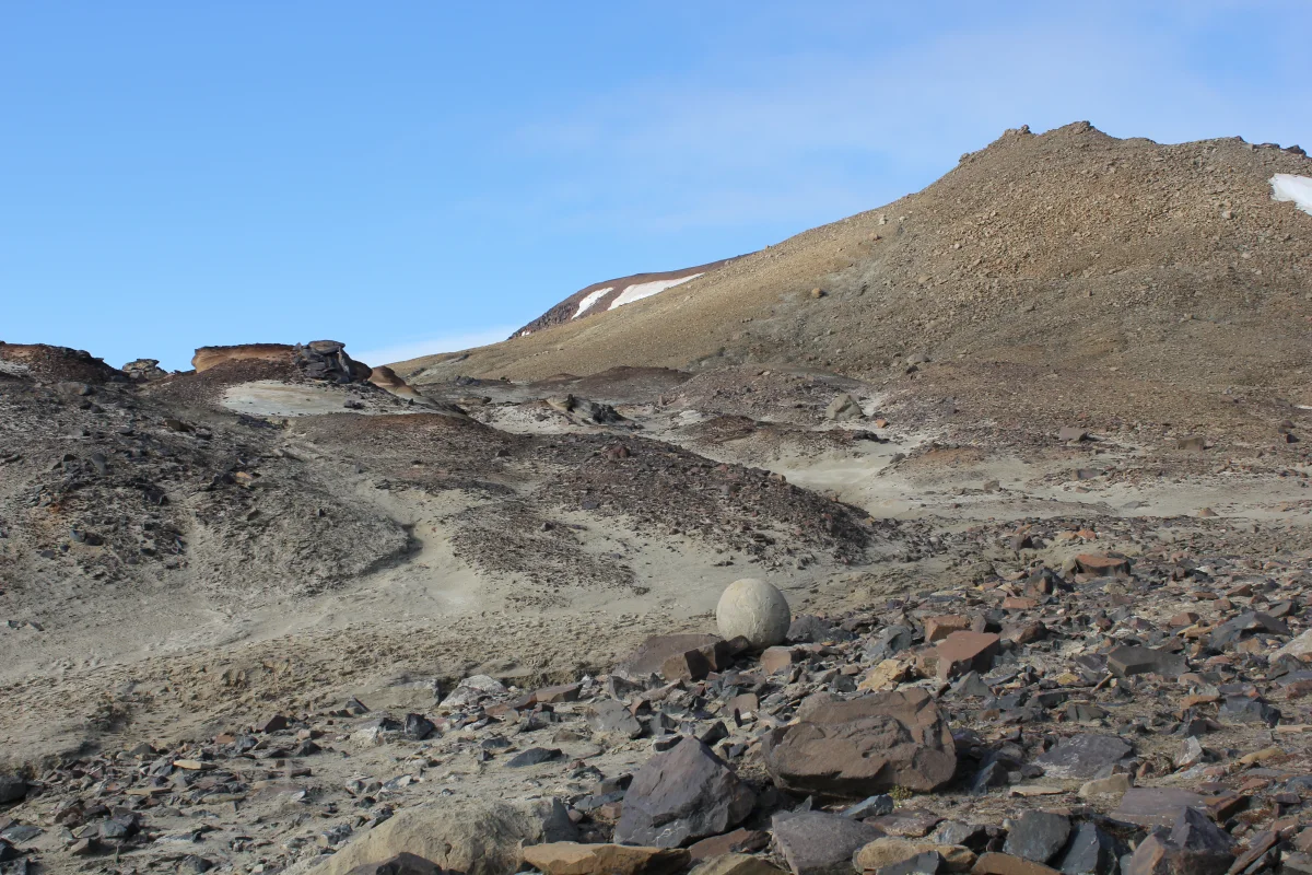 Champ Island · Dmitrijshh
GEOLOGY IN THE OPEN
Stone spheres and Arctic shorelines. Get to know one of the archipelago’s most distinctive landscapes.
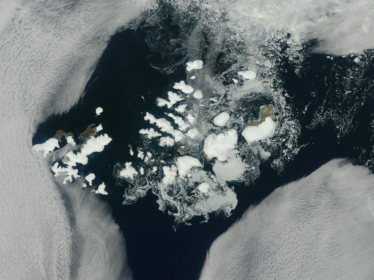 Regional satellite view · NASA
THE LARGEST ISLAND
Discover the western archipelago through its largest island, glaciers, and coastal geography.
03 / IN THE FOOTSTEPS OF EXPLORERS
Icebound ships, winter shelters, and a chance meeting at Cape Flora. Follow the expeditions that brought these islands onto the map.
Follow the full timelineThe Austro-Hungarian expedition sights Franz Josef Land.
Payer explores the islands before the expedition returns south.
Nansen encounters Jackson after a winter ashore with Johansen.
An expedition establishes the station at Tikhaya Bay.
EXPEDITION FIELD NOTES
The Tegetthoff expeditionJackson–Harmsworth, 1894–1897Fiala–Ziegler, 1903–1905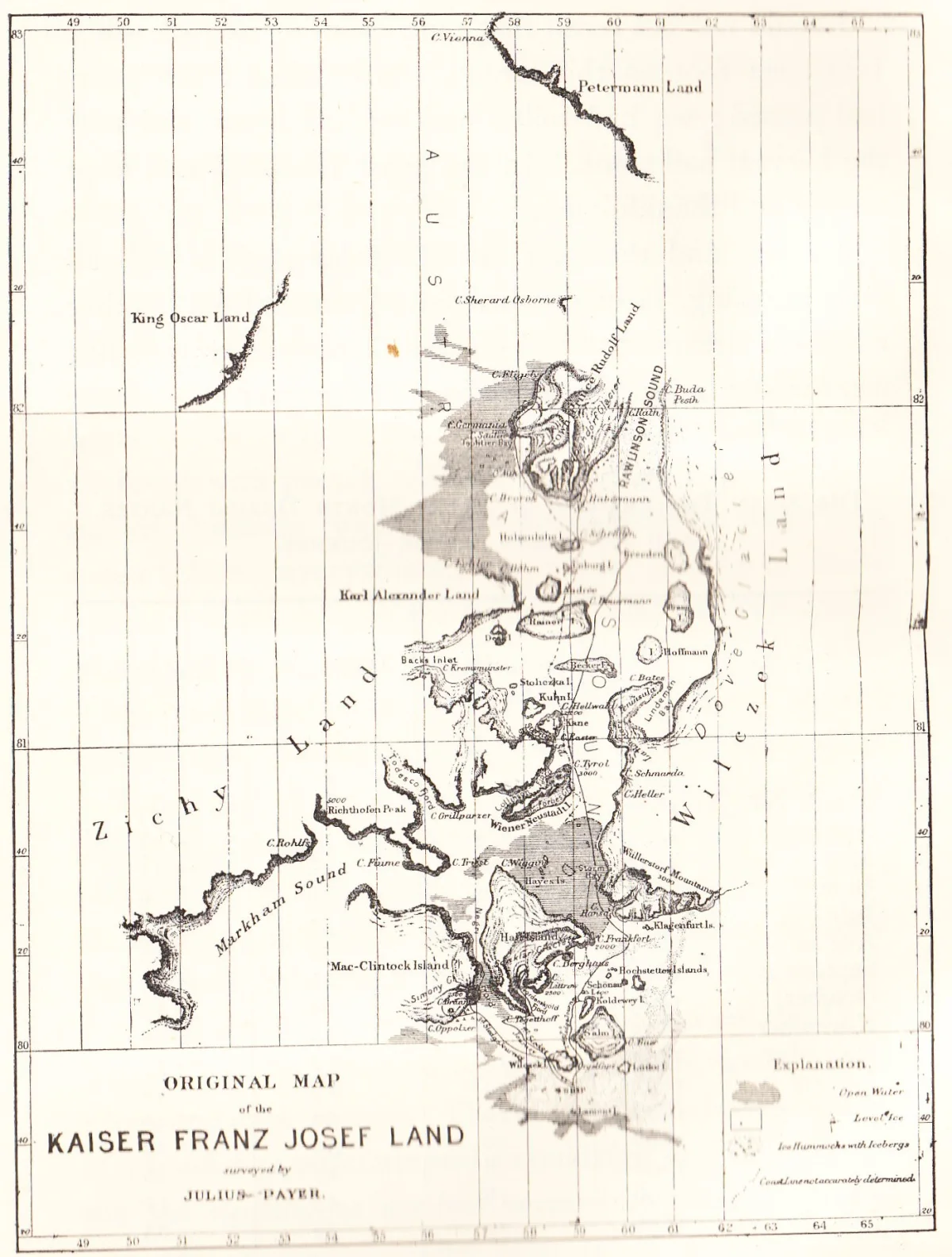
04 / THE MAP ROOM
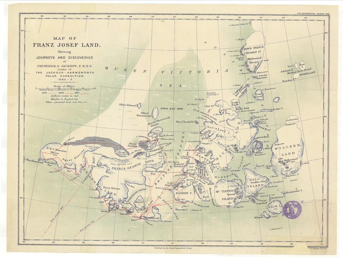
Old coastlines. Unfamiliar names. New discoveries. Look closely at the charts that shaped our understanding of Franz Josef Land.
Original scans, source records, and side-by-side comparison. Historical charts preserve the knowledge—and the uncertainty—of their time.
Compare historical maps05 / WILDLIFE & ECOLOGY
Meet the bears, walruses, and seabirds of the High Arctic, and explore their connections with the islands and the sea.
06 / ICE, CLIMATE & GEOLOGY
Read the islands through their glaciers, sea ice, and ancient bedrock. Follow the observations that help us understand Arctic change.
FROM THE REFERENCE LIBRARY
Recent articles to take your reading a little further.
Islands & Places
Geology & Bedrock
Historic Expeditions
ABOUT THIS PROJECT
An independent reference to the islands, exploration history, wildlife, and science of Franz Josef Land.
Start with a place. Follow an expedition. Compare a historical chart with a later perspective. This project brings those connections together in an accessible Arctic atlas.
Explore our map & image sources